
Elevation: 5716 feet
Presidential Range
Number 35 on the List
Getting to Caps Ridge Trail head is an adventure in itself. Closed in the winter the trailhead parking lot is so high in elevation gain that you only have to hike 2700 feet of Jefferson's 5716.

A narrow dirt road with lots of curves and tight turns-- and cell phone reception? Nill. It's spectacular.
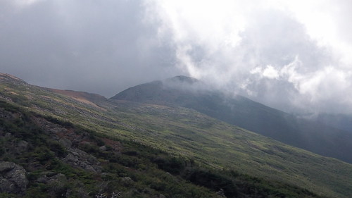
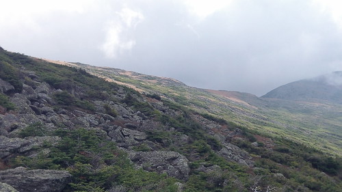
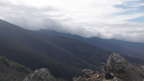
Caps Ridge Trail is a sweet and easy (relatively) way to claim one of the mighty Presidentials (or Presis for short in NH). Loads of good views line the way up and down the trail. Don't forget full gear even in the summer. The Presidential Range is notorious for some of the worst weather in the world with some of the highest wind speeds ever recorded. It has snowed every month of the year in this area and average wind speeds are regularly 35-45 mph.
Overall the trail is easy to follow, not very crowded depending on the time of year, and relatively easy compared to Jefferson's neighbors such as Adams and Washington.


No comments:
Post a Comment