Owl's Head- 4025 feet
18 miles round trip
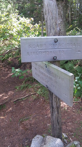
Lincoln Woods Trail, Franconia Brook Trail, Lincoln Brook Trail, Owl's Head Path
Number 14 on my list
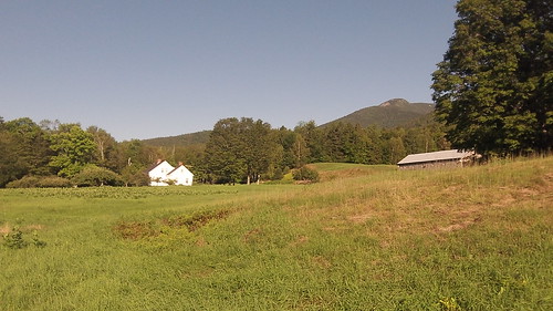
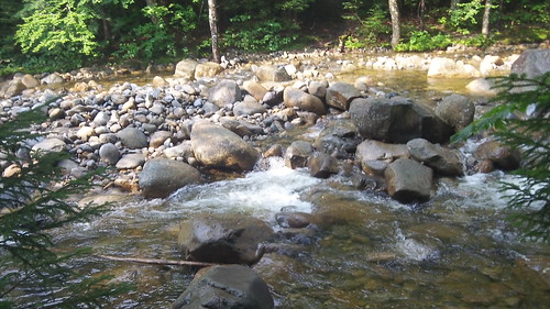
Deemed "a death march" by fellow peak baggers, Owl's Head is the only peak on the NH White Mountain 4,000 Footer list without an officially maintained trail. It takes about 8 miles to just get to the mountain with one mile straight up a rocky slide trail, making the entire hike 18 miles. It's very deep in the Pemigewasset Wilderness and feels deliciously isolated. To top it all off there are five major river crossings that can be dangerous with high waters.
An early start brought us to the parking lot at around 7:30 in the morning. When we parked in the Lincoln Woods parking lot a torrential thunder and lightning storm blew in. The weathermen predicted strong thunderstorms late in the afternoon, so we were not thrilled to start our hike in these dangerous conditions. We debated just getting back in the car and shooting for next Saturday when we decided we drove too far to turn back without any sort of hike.
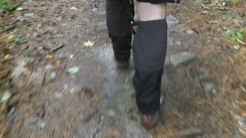
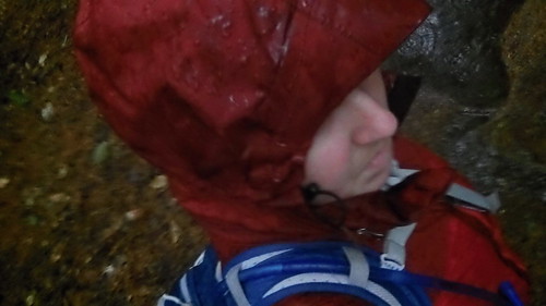
Together we decided to go to Franconia Falls- about three miles out on the trail- and reassess the weather and our decision to hike. The rain was torrential, but luckily my winter gaiters held up very well and kept my feet dry, which is the most critical element to keep dry.
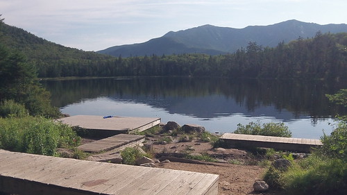
We reached the Falls in just under an hour- meaning we were hiking around 3 miles per hour. The hike to Owl's Head may be long, isolated, remote- but it is flat until you reach the mountain 8 miles in. We figured at this rate we could reach the base of the mountain in roughly three hours total- so we took off.
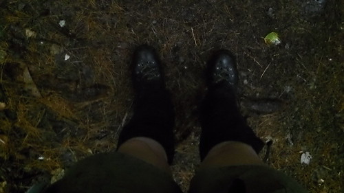
The rain died back but the humidity stuck around. Since it was already fairly wet out the humidity just made it like a swimming pool out there. We started knocking off some of the major river crossings. The very first one required us to take our shoes off. We had brought along our Chacos just for this purpose. Later in the hike we decided not to take our boots off, which I think is mainly related to total fatigue talking.
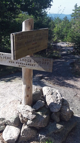
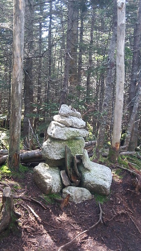
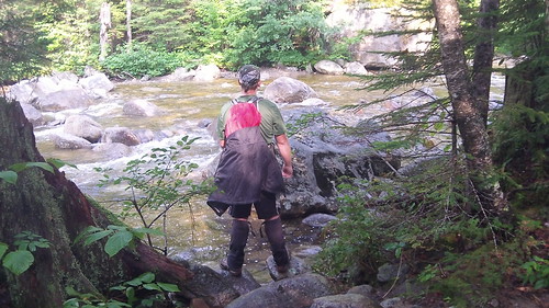
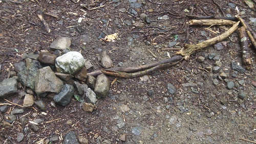
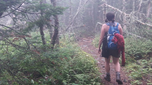
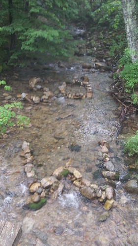
Finding the unofficial summit "path" was tricky. After the last of the river crossings, based on our mileage, and the map we began to look to the right for the path. We had read many people overshoot and have to back track- and at 18 miles round trip- I really didn't want to be adding any miles to our hike.
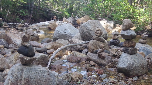
I shouted, "I think I see it." As I tripped over a tiny pile of rocks in the trail. Stopping to look we realized this was a makeshift cairn with stick arrows to indicate the trail. Thankfully someone had left some sort of marking.
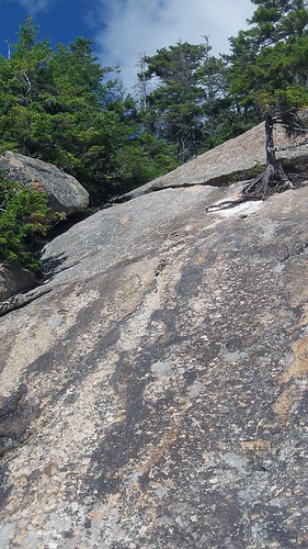
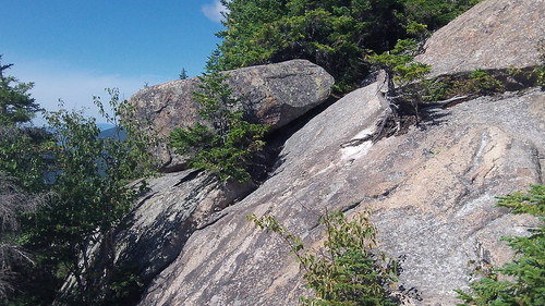
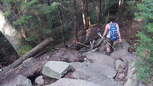
Can you see the path? It's there
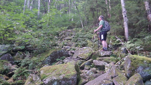
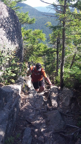
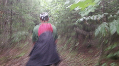
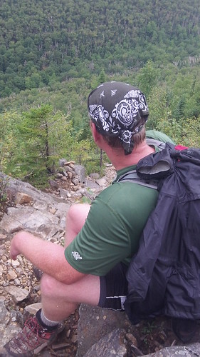
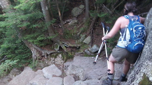
The summit path follows an extremely steep rock slide. There was lots of crawling and climbing involved. As we neared the summit we heard voices. After so many hours of just the two of us- stumbling across other people was different! By the time we ended our hike many hours later these would be the only other hikers we would come across.
Slide Trail
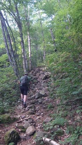
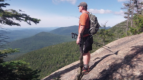
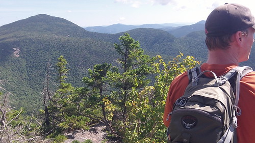
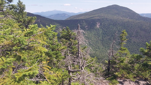
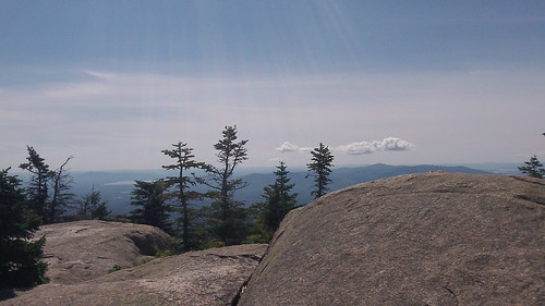
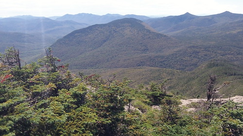
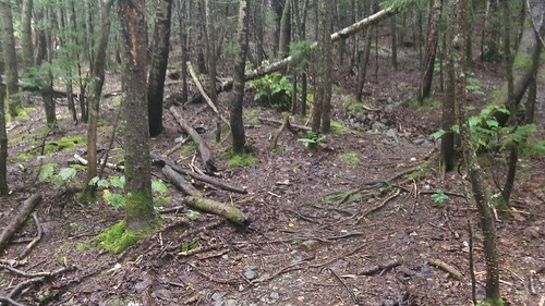
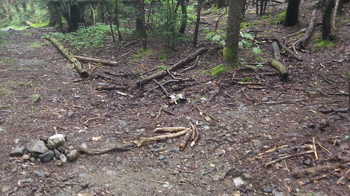
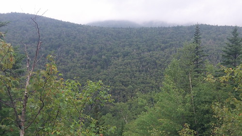
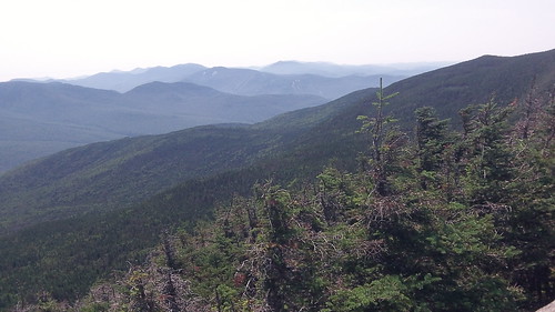
View while hiking up Owl's Head
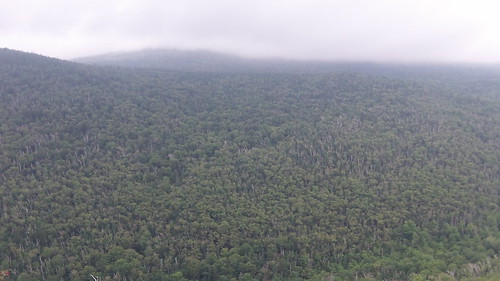
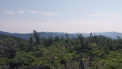
View while hiking up Owl's Head
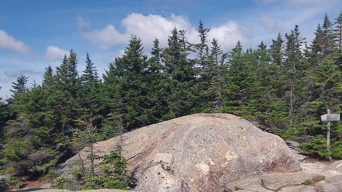
The top of Owl's Head is like another world. The humidity, rain, and height made the summit extremely foggy and other wordly. Long pieces of moss hung from the trees. The top is littered with little side trails going this way and that, which makes finding the true summit difficult. And you'd better be shit sure you find the real summit given given the mileage of this hike.
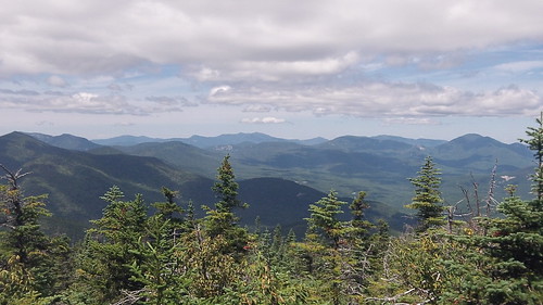
We finally find the summit which is just a little pile of rocks. It felt amazing to reach this peak. The isolation was extremely exciting. I love feeling like I may be the only person for miles around. We fueled up, but soon discovered it wasn't all downhill from here.
We started climbing back down the slide, which on a good day would be difficult and on a bad day, well, it sucks. We took double the time to get down the mountain as another thunder and lightening storm pulled in. We reached the base and started hightailing it back. Criss-crossed four more river crossings and at the fifth I tried to make it without taking my boots off. I sat down on top of a rock in the middle of the river and yanked my boots off- unable to make it any further. Because it was raining heavily it was not fun taking off my ten layers of gaiters, boots, and double layered socks.
At around five miles left to our trip the heavens open up and a freakin' monsoon comes in. Well we really don't get monsoons up in New England, but if we did- I imagine it would look a bit like that. It poured and it poured and it poured. The trails soon became small streams with no escape routes. We trekked right through the middle and were rewarded with soaking wet boots, which soon became 10 pound weights.
We reached our car and did a little dance. Called a friend to let out our dog at home and stopped for some soup on our way back. It was the most amazing hike to date. I have never been so miserable yet had so much fun.


 Subscribe in a reader